

Secret Springs
Upper Halfway Hot Springs
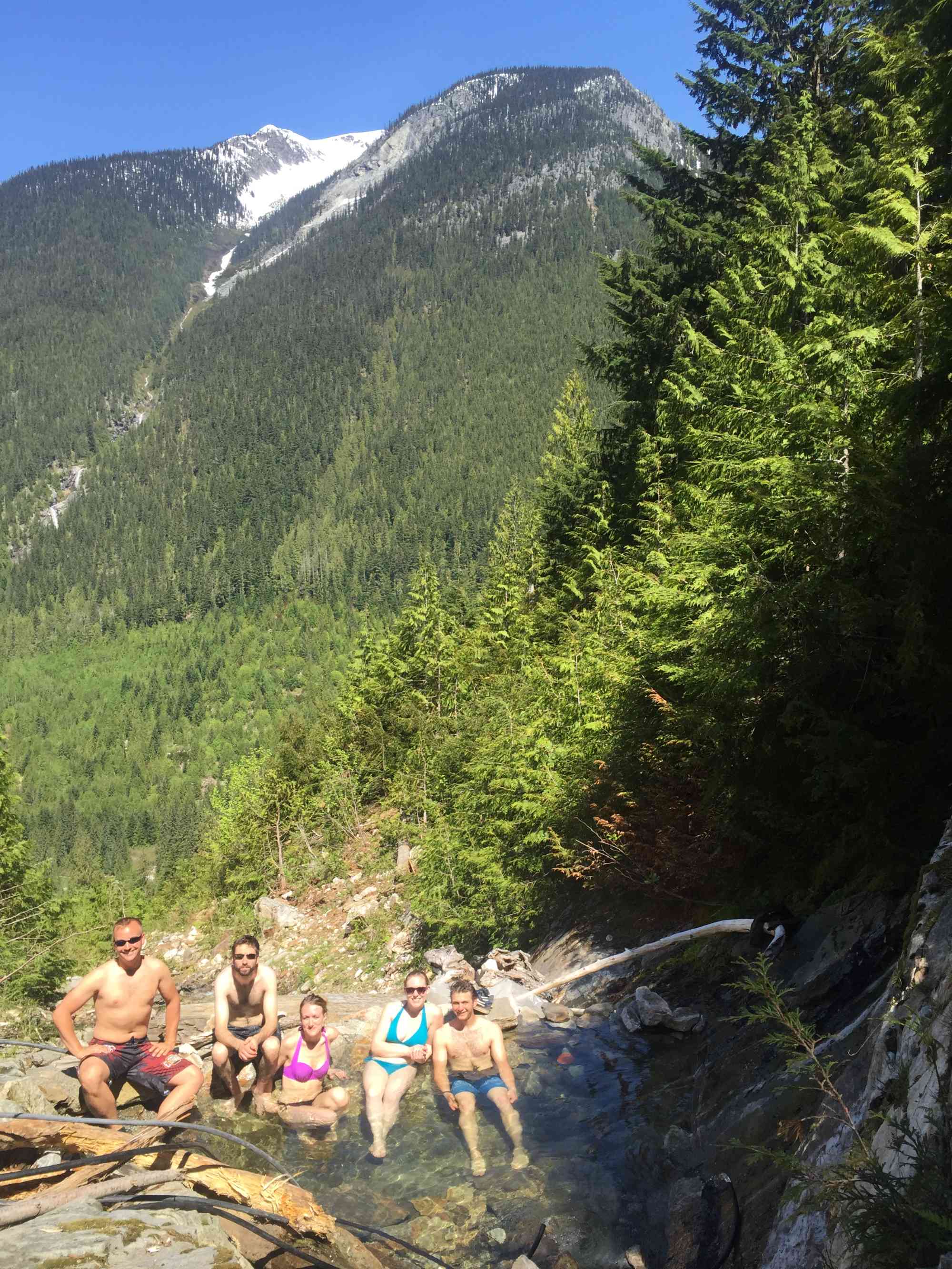
Known as "Upper Halfway Hot Springs" or "Wholeway Hot Springs," this incredibly elusive soaking spot is nestled deep within the Halfway River valley. This hidden gem took weeks of internet research and a full day of hiking in the "wrong ways" with only whispers if they actually existed. All-natural pristine spring water bubbles out of the side of the mountain with a view that boasts a mountain vista. Perfect for bathing in a moon-lit "off the grid" sanctuary.
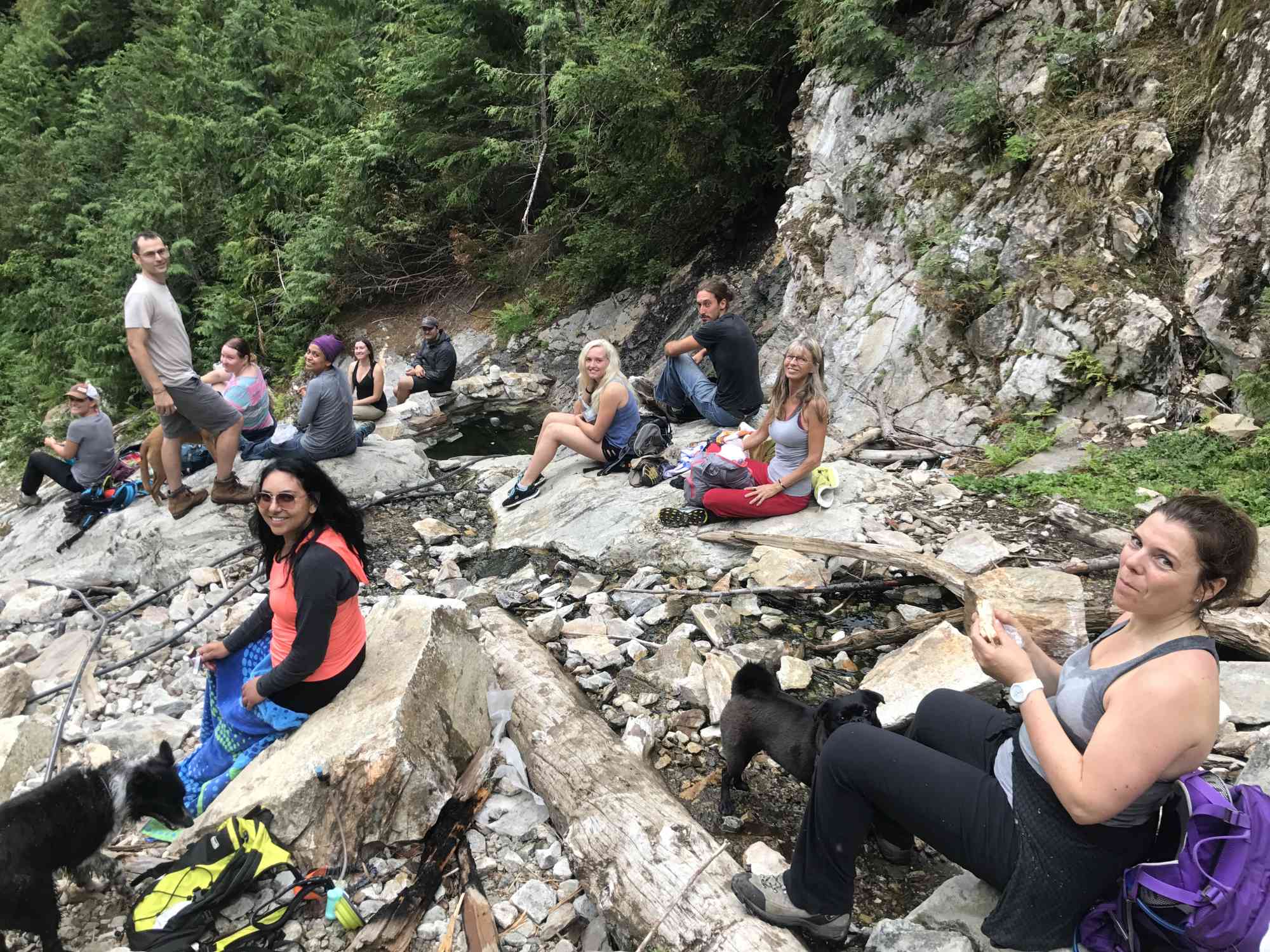
This is one of the very few natural springs left in the area that has not been commercialized or taken over by BC Parks. Respect this place as if it were your own. Pack out what you pack in, and preserve its natural serenity by keeping noise to a minimum. Getting there is incredibly dangerous and difficult even with directions.
These springs are active year-round, but the stream which feeds in the cooler water dries up around mid-July. The springs are too hot to visit without this fresh water source.
Route One: Far Side Logging Road & Zip Line
2018 Update: This route, as of late summer 2018, was no longer transversable due to the logging road washing out a mere couple kilometers up the road (GPS: 50.481778, -117.867447). While there is a narrow makeshift detour next to the river that could be done with 4x4, it is likely unsafe, and should not be attempted.
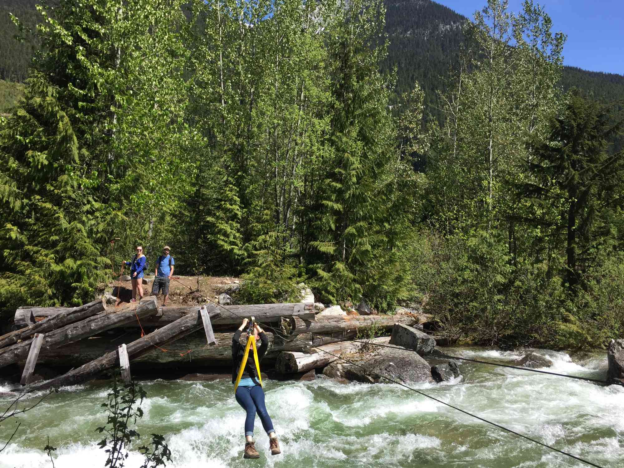
- Throw together a zip line harness with pulley, two carabiners, and a backup support line. Any local climbing store will likely have the gear required.
- Begin with the same directions as getting to normal Halfway Hot Springs, but instead of turning before the Halfway River bridge, cross it, and turn right immediately onto the forest service road on the other side. Reset the car's odometer.
- At 22.08 km notice a very overgrown trail to the right. Walk down with all of your camping gear and setup camp. You'll likely want to stay here instead of hauling all of your equipment up the very steep trek on the other side. There is a nice clearing with a fire pit.
- Walk down to the river, hop up the small embankment and notice the remains of an old bridge now long-lost to time. There is a metal cable drawn across the river, secured to two trees. Attach your zip line equipment safely and fly across. This line could break at any time. Absolutely use at your own risk!
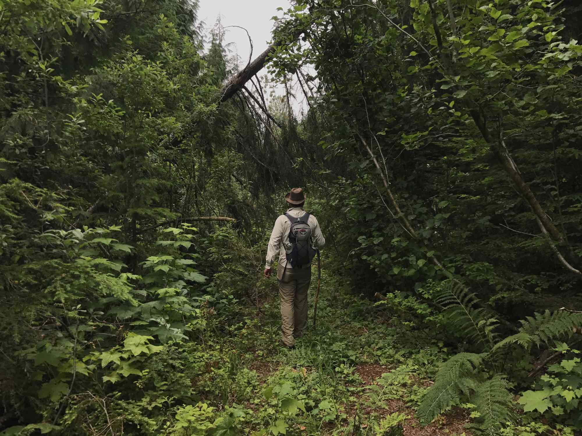
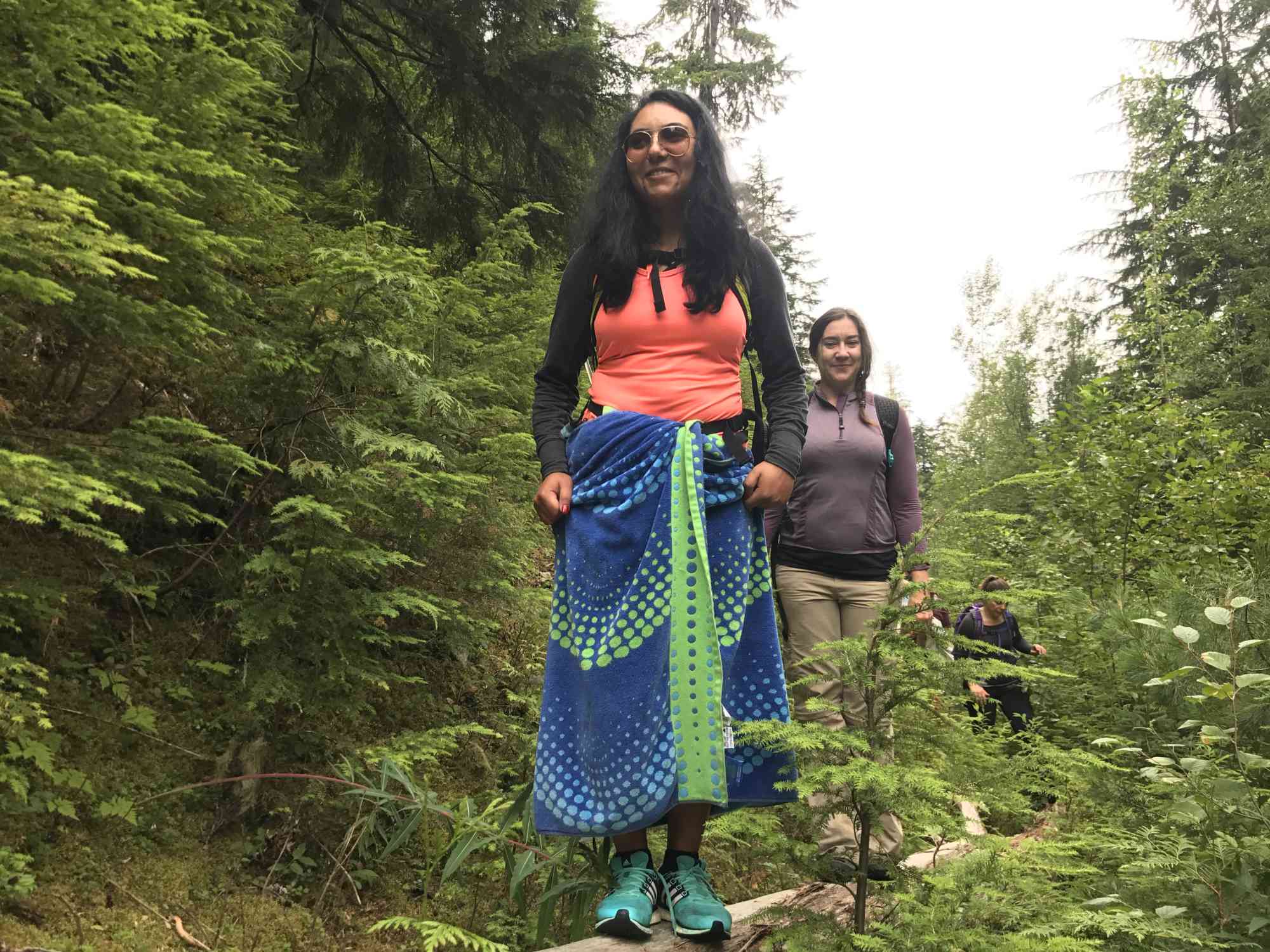
- On the other side of the river, head up what is left of the trail, veer left, and then eventually arc right over the short 1.2 km distance where the trail peters out. While only a 230 meter elevation gain, this path is often ludicrously overgrown with ferns, stinging nettle, and other hazards.
- Having correctly navigated your way to the springs, you will see a small pool on the far side of the stream bed that has been reinforced with cement. Plug the pipe at the bottom back against the rock wall and allow it to fill. Use the available black tubes to siphon water from the creek to bring the temperature down to a comfortable level.
GPS Directions (Route 1)
- Turn-off from Highway
50.445964,-117.896717 - Park & Trail Down
50.505384,-117.663263 - Old Bridge & Zip Line
50.50366,-117.664466 - Route 1 & 2 Intersection
50.502912,-117.663701 - Actual Springs
50.498748,-117.65495
Route Two: Full Day Bushwack (2.75 hours each way)
- TAKE THE FREE GPS LOG WE HAVE ON THE SITE. Absolutely DO NOT try this route without it. Bring a battery backup for your phone, a real compass, and even print a paper copy of the map to ensure you do not get lost.
- Begin with the same directions as getting to normal Halfway Hot Springs, but pass it. RESET ODOMETER at the BC Parks sign.
- Around 1.5 km, continue through the hair-pin turn over a creek.
- Around 2.7 km, take the fork to the left. The road to the right will lead up to a logging clearcut.
- Around 3.75 km, there has been a major rock slide and the road is unusable. Don't be stupid and try to take your jeep through it. Park. The trail gets too narrow to drive shortly after this anyway.
- The bushwhacking adventure begins. Start recording your own GPS log now and watch the kilometers closely.
- At 0.6 km into the trail, reach another hairpin turn and continue on across the bridge and creek.
- At 1.85 km, reach a fork. There is a very tempting clearer trail to the right, but if you take it, you won't wind up anywhere near the springs! Continue LEFT on the more overgrown trail.
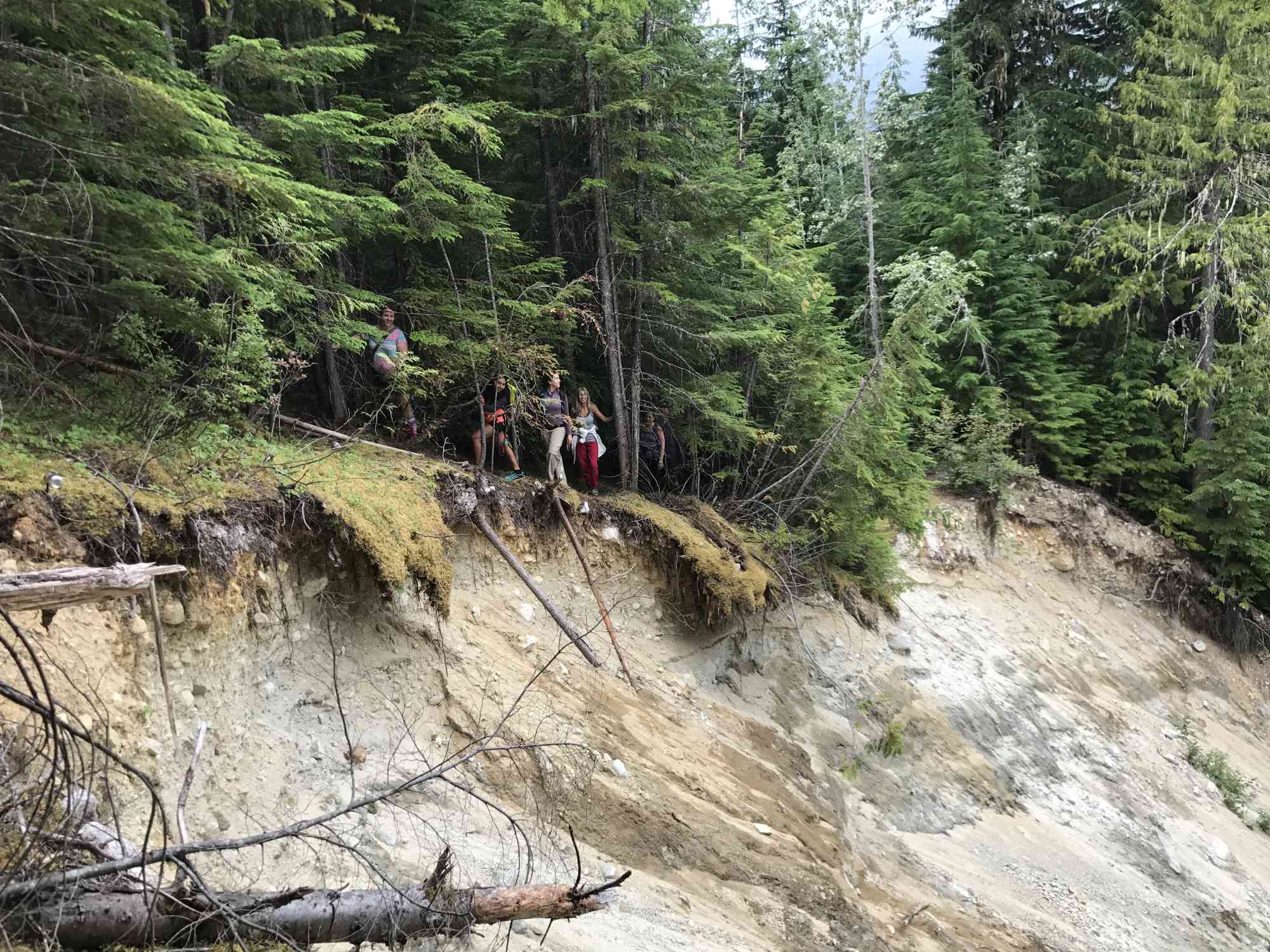
- Around 2 km (or only 200 meters after being on this overgrown trail), reach an area where there was a MAJOR landslide and the trail now sneaks around the right side of the slide.
- Look up. The sky is now your guide. As this was once an old 4x4ing road, and you are walking through new growth, the trail can be followed by watching the height of the trees. Stay in the area that is much shorter.
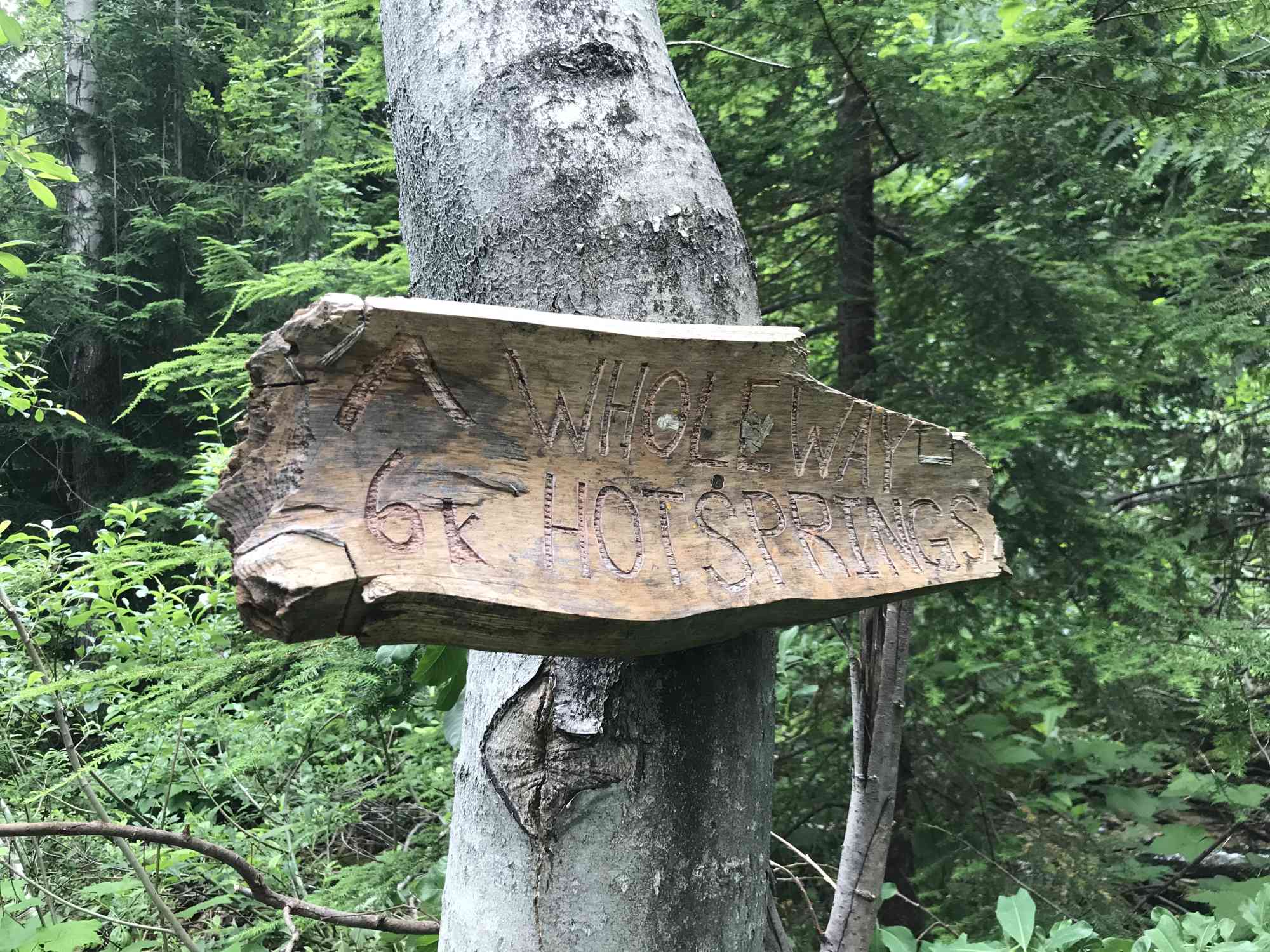
- Around 5.04 km, an old hand-carved sign for "Wholeway Hot Springs"
- Around 8.25 km, you now intersect with the trail from Route One. Turning left will take you down to the old washed-out bridge and zip-line access. Heading straight-on will lead to the springs.
- Around 8.878 km, the trail takes a dramatic uphill turn.
- Around 9.325 km, push through the bushes and cross the clear and rocky creek-bed to the springs on the other side!
GPS Directions (Route 2)
- Turn-off from Highway
50.427233,-117.895188 - Park
50.500045,-117.746307 - Giant Washout
50.503504,-117.734233 - Wholeway Hot Springs sign
50.504218,-117.698212 - Route 1 & 2 Intersection
50.502912,-117.663701 - Actual Springs
50.498748,-117.65495